

Use of satellite imagery in constructing a household GIS database for health studies in Karachi, Pakistan
- PMID: 15450121
- PMCID: PMC521499
- DOI: 10.1186/1476-072X-3-20
Use of satellite imagery in constructing a household GIS database for health studies in Karachi, Pakistan
Abstract
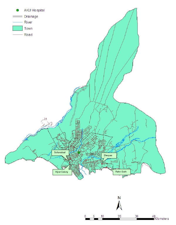
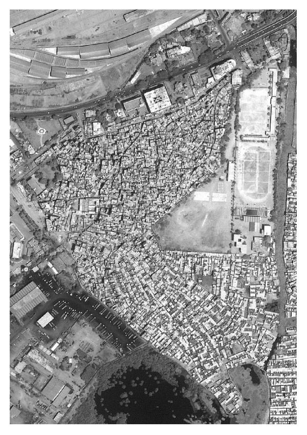
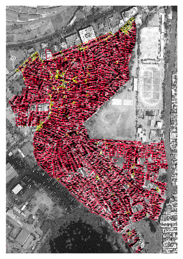
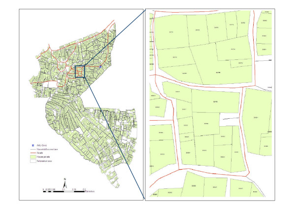
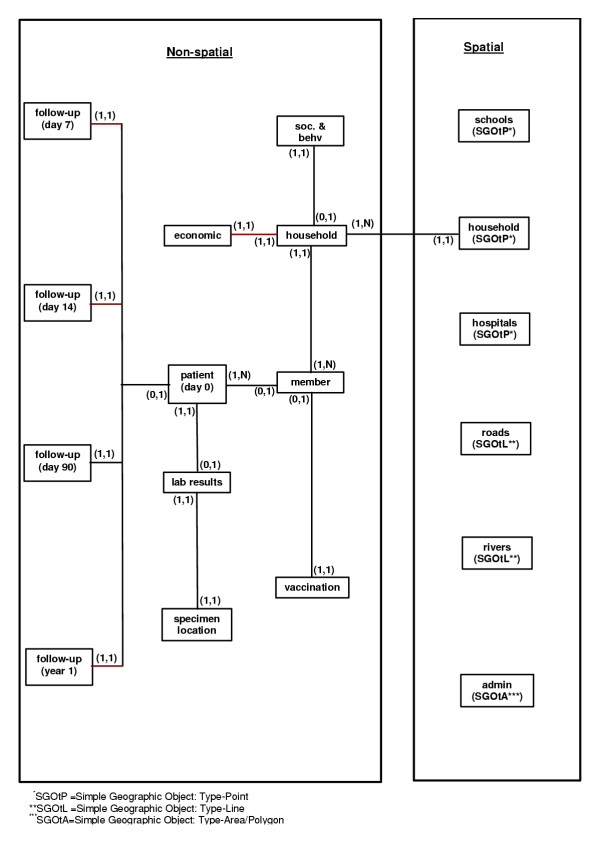
BACKGROUND: Household-level geographic information systems (GIS) database are usually constructed using the geographic positioning system (GPS). In some research settings, GPS receivers may fail to capture accurate readings due to structural barriers such as tall buildings. We faced this problem when constructing a household GIS database for research sites in Karachi, Pakistan because the sites are comprised of congested groups of multi-storied building and narrow lanes. In order to overcome this problem, we used high resolution satellite imagery (IKONOS) to extract relevant geographic information. RESULTS: The use of IKONOS satellite imagery allowed us to construct an accurate household GIS database, which included the size and orientation of the houses. The GIS database was then merged with health data, and spatial analysis of health was possible. CONCLUSIONS: The methodological issues introduced in this paper provide solutions to the technical barriers in constructing household GIS database in a heavily populated urban setting.
Figures
References
-
- McGlashan ND. Medical geography: an introduction. In: McGlashan ND, editor. In Medical geography: techniques and field studies. London: Methuen; 1972. pp. 3–15.
-
- Hunter JM. The geography of health and disease. In: Chapel Hill, editor. In The challenge of medical geography. NC: University of North Carolina; 1974. pp. 1–3.
-
- Jones K, Duncan C. Individuals and their ecologies: analysing the geography of chronic illness within multilevel modeling framework. Health & Place. 1995;1:27–40. doi: 10.1016/1353-8292(95)00004-6. - DOI
LinkOut - more resources
Full Text Sources
Medical
