

A study of community design, greenness, and physical activity in children using satellite, GPS and accelerometer data
- PMID: 22243906
- PMCID: PMC3399710
- DOI: 10.1016/j.healthplace.2011.09.003
A study of community design, greenness, and physical activity in children using satellite, GPS and accelerometer data
Abstract
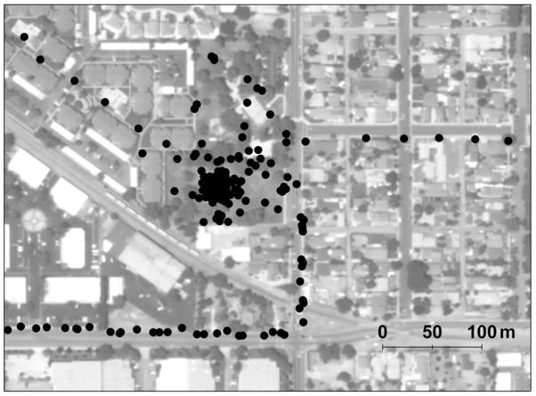
This study examined relationships between greenness exposure and free-living physical activity behavior of children in smart growth and conventionally designed communities. Normalized Difference Vegetation Index (NDVI) was used to quantify children's (n=208) greenness exposure at 30-s epoch accelerometer and GPS data points. A generalized linear mixed model with a kernel density smoothing term for addressing spatial autocorrelation was fit to analyze residential neighborhood activity data. Excluding activity at home and during school-hours, an epoch-level analysis found momentary greenness exposure was positively associated with the likelihood of contemporaneous moderate-to-vigorous physical activity (MVPA). This association was stronger for smart growth residents who experienced a 39% increase in odds of MVPA for a 10th to 90th percentile increase in exposure to greenness (OR=1.39, 95% CI 1.36-1.44). An individual-level analysis found children who experienced >20 min of daily exposure to greener spaces (>90th percentile) engaged in nearly 5 times the daily rate of MVPA of children with nearly zero daily exposure to greener spaces (95% CI 3.09-7.20).
Copyright © 2011 Elsevier Ltd. All rights reserved.
Figures
References
-
- ArcGIS, ESRI (Environmental Systems Research Institute) ArcMap 9.3. Redlands, California:
-
- Bailey T, Gatrell T. Interactive spatial data analysis. John Wiley & Sons; New York: 1995.
-
- Bedimo-Rung AL, Mowen AJ, Cohen DA. The significance of parks to physical activity and public health - A conceptual model. American Journal of Preventive Medicine. 2005;28:159–168. - PubMed
Publication types
MeSH terms
Grants and funding
LinkOut - more resources
Full Text Sources
