Urbanisation and health in China
- PMID: 22386037
- PMCID: PMC3733467
- DOI: 10.1016/S0140-6736(11)61878-3
Urbanisation and health in China
Abstract
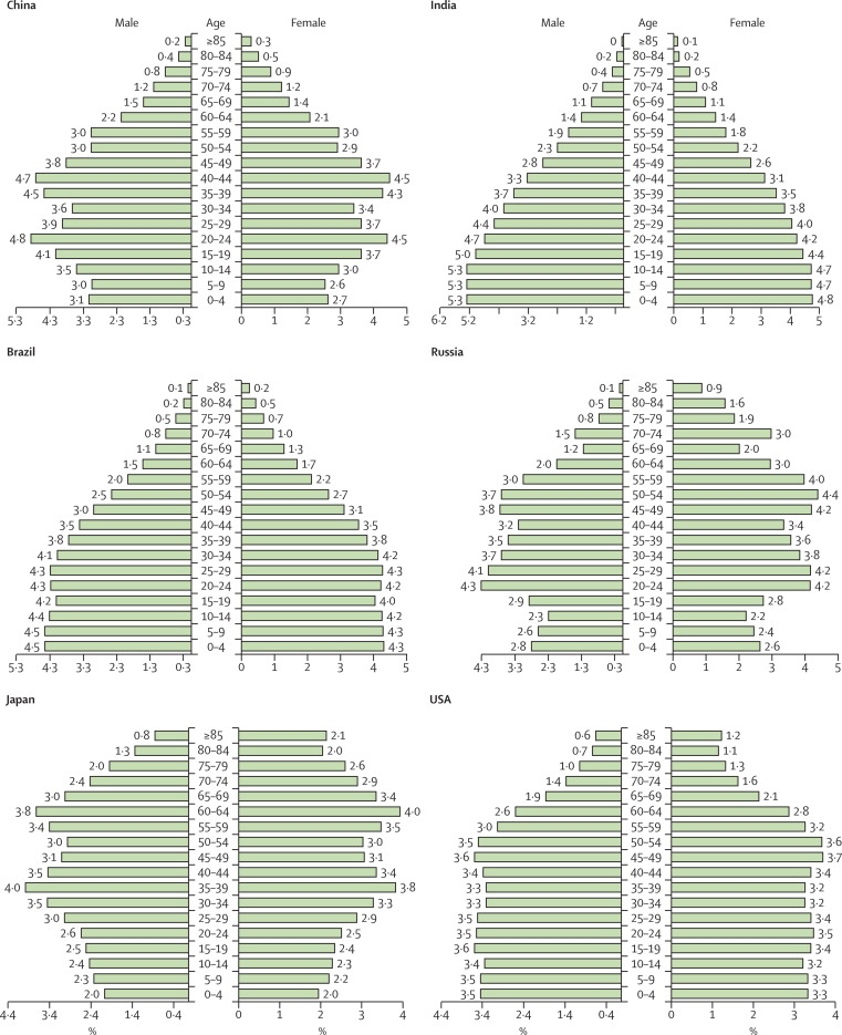
China has seen the largest human migration in history, and the country's rapid urbanisation has important consequences for public health. A provincial analysis of its urbanisation trends shows shifting and accelerating rural-to-urban migration across the country and accompanying rapid increases in city size and population. The growing disease burden in urban areas attributable to nutrition and lifestyle choices is a major public health challenge, as are troubling disparities in health-care access, vaccination coverage, and accidents and injuries in China's rural-to-urban migrant population. Urban environmental quality, including air and water pollution, contributes to disease both in urban and in rural areas, and traffic-related accidents pose a major public health threat as the country becomes increasingly motorised. To address the health challenges and maximise the benefits that accompany this rapid urbanisation, innovative health policies focused on the needs of migrants and research that could close knowledge gaps on urban population exposures are needed.
Copyright © 2012 Elsevier Ltd. All rights reserved.
Figures

Comment in
-
What can be learned from China's health system?Lancet. 2012 Mar 3;379(9818):777. doi: 10.1016/S0140-6736(12)60327-4. Lancet. 2012. PMID: 22386010 No abstract available.
References
-
- NBSC . National statistics yearbook. National Bureau of Statistics of China; Beijing: 2010. [in Chinese].
-
- UN Department of Economic and Social Affairs, Population Division World population prospects. The 2010 Revision. http://esa.un.org/unpd/wpp/index.htm (accessed Oct 13, 2011).
-
- Yusuf F, Saich T. China urbanizes: consequences, strategies and policies. The World Bank; Washington, DC: 2008.
-
- National Bureau of Statistics of China China's total population and structural changes in 2011. http://www.stats.gov.cn/english/newsandcomingevents/t20120120_402780233.htm (accessed Jan 18, 2012).
-
- Zhou YX, Ma LJC. China's urbanization levels: Reconstructing a baseline from the fifth population census. China Q. 2003;173:176–196.