

Social sensing of floods in the UK
- PMID: 29385132
- PMCID: PMC5791948
- DOI: 10.1371/journal.pone.0189327
Social sensing of floods in the UK
Abstract
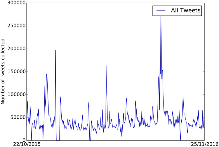
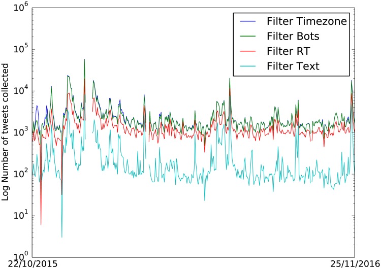
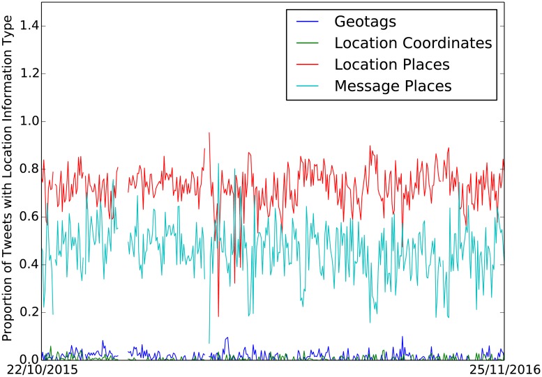
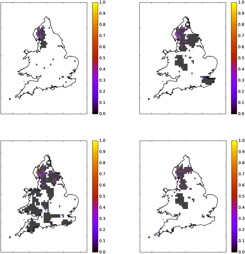
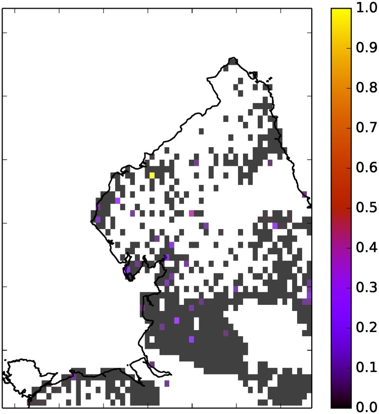
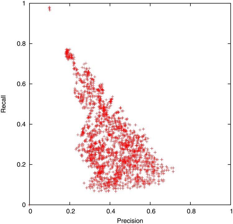
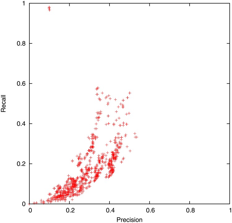
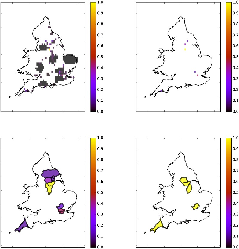
"Social sensing" is a form of crowd-sourcing that involves systematic analysis of digital communications to detect real-world events. Here we consider the use of social sensing for observing natural hazards. In particular, we present a case study that uses data from a popular social media platform (Twitter) to detect and locate flood events in the UK. In order to improve data quality we apply a number of filters (timezone, simple text filters and a naive Bayes 'relevance' filter) to the data. We then use place names in the user profile and message text to infer the location of the tweets. These two steps remove most of the irrelevant tweets and yield orders of magnitude more located tweets than we have by relying on geo-tagged data. We demonstrate that high resolution social sensing of floods is feasible and we can produce high-quality historical and real-time maps of floods using Twitter.
Conflict of interest statement
Figures
References
-
- Field CB, Barros V, Stocker TF, Qin D, Dokken DJ, Ebi KL, et al. Managing the Risks of Extreme Events and Disasters to Advance Climate Change Adaptation A Special Report of Working Groups I and II of the Intergovernmental Panel on Climate Change. Cambridge University Press, Cambridge, United Kingdom and New York, NY, USA: (2012).
-
- Muller CL, Chapman L, Johnston S, Kidd C, Illingworth S, Foody G, et al. Crowdsourcing for climate and atmospheric sciences: Current status and future potential. International Journal of Climatology, 35(11), pp.3185–3203 (2015). doi: 10.1002/joc.4210 - DOI
-
- WOW Met Office Weather Observations Website https://wow.metoffice.gov.uk/ Accessed 11-02-201.
-
- ESWD European Severe Weather Database https://www.eswd.eu/ Accessed 11-02-201.
-
- UK Snow Map http://uksnowmap.com/ Accessed 11-02-201.
Publication types
MeSH terms
LinkOut - more resources
Full Text Sources
Other Literature Sources
Medical
