A 'shallow bathtub ring' of local sedimentary iron input maintains the Palmer Deep biological hotspot on the West Antarctic Peninsula shelf
- PMID: 29760114
- PMCID: PMC5954470
- DOI: 10.1098/rsta.2017.0171
A 'shallow bathtub ring' of local sedimentary iron input maintains the Palmer Deep biological hotspot on the West Antarctic Peninsula shelf
Abstract
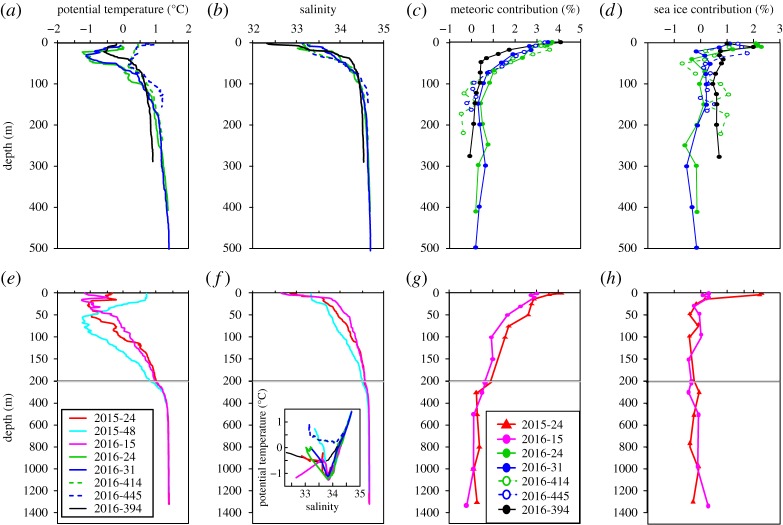
Palmer Deep (PD) is one of several regional hotspots of biological productivity along the inner shelf of the West Antarctic Peninsula. The proximity of hotspots to shelf-crossing deep troughs has led to the 'canyon hypothesis', which proposes that circumpolar deep water flowing shoreward along the canyons is upwelled on the inner shelf, carrying nutrients including iron (Fe) to surface waters, maintaining phytoplankton blooms. We present here full-depth profiles of dissolved and particulate Fe and manganese (Mn) from eight stations around PD, sampled in January and early February of 2015 and 2016, allowing the first detailed evaluation of Fe sources to the area's euphotic zone. We show that upwelling of deep water does not control Fe flux to the surface; instead, shallow sediment-sourced Fe inputs are transported horizontally from surrounding coastlines, creating strong vertical gradients of dissolved Fe within the upper 100 m that supply this limiting nutrient to the local ecosystem. The supply of bioavailable Fe is, therefore, not significantly related to the canyon transport of deep water. Near shore time-series samples reveal that local glacial meltwater appears to be an important Mn source but, surprisingly, is not a large direct Fe input to this biological hotspot.This article is part of the theme issue 'The marine system of the West Antarctic Peninsula: status and strategy for progress in a region of rapid change'.
Keywords: Antarctic; biogeochemistry; iron; manganese; phytoplankton; sediment.
© 2018 The Author(s).
Conflict of interest statement
We declare we have no competing interests.
Figures


Similar articles
-
Shelf-ocean exchange and hydrography west of the Antarctic Peninsula: a review.Philos Trans A Math Phys Eng Sci. 2018 Jun 28;376(2122):20170164. doi: 10.1098/rsta.2017.0164. Philos Trans A Math Phys Eng Sci. 2018. PMID: 29760109 Free PMC article. Review.
-
Evidences of strong sources of DFe and DMn in Ryder Bay, Western Antarctic Peninsula.Philos Trans A Math Phys Eng Sci. 2018 Jun 28;376(2122):20170172. doi: 10.1098/rsta.2017.0172. Philos Trans A Math Phys Eng Sci. 2018. PMID: 29760115 Free PMC article.
-
Variability in summer surface residence time within a West Antarctic Peninsula biological hotspot.Philos Trans A Math Phys Eng Sci. 2018 Jun 28;376(2122):20170165. doi: 10.1098/rsta.2017.0165. Philos Trans A Math Phys Eng Sci. 2018. PMID: 29760110 Free PMC article.
-
Macronutrient and carbon supply, uptake and cycling across the Antarctic Peninsula shelf during summer.Philos Trans A Math Phys Eng Sci. 2018 Jun 28;376(2122):20170168. doi: 10.1098/rsta.2017.0168. Philos Trans A Math Phys Eng Sci. 2018. PMID: 29760112 Free PMC article.
-
Marine pelagic ecosystems: the west Antarctic Peninsula.Philos Trans R Soc Lond B Biol Sci. 2007 Jan 29;362(1477):67-94. doi: 10.1098/rstb.2006.1955. Philos Trans R Soc Lond B Biol Sci. 2007. PMID: 17405208 Free PMC article. Review.
Cited by
-
Modeling the Seasonal Cycle of Iron and Carbon Fluxes in the Amundsen Sea Polynya, Antarctica.J Geophys Res Oceans. 2019 Mar;124(3):1544-1565. doi: 10.1029/2018JC014773. Epub 2019 Mar 7. J Geophys Res Oceans. 2019. PMID: 35865970 Free PMC article.
-
Ice sheets matter for the global carbon cycle.Nat Commun. 2019 Aug 15;10(1):3567. doi: 10.1038/s41467-019-11394-4. Nat Commun. 2019. PMID: 31417076 Free PMC article. Review.
-
Shelf-ocean exchange and hydrography west of the Antarctic Peninsula: a review.Philos Trans A Math Phys Eng Sci. 2018 Jun 28;376(2122):20170164. doi: 10.1098/rsta.2017.0164. Philos Trans A Math Phys Eng Sci. 2018. PMID: 29760109 Free PMC article. Review.
-
Silicon isotopes in Arctic and sub-Arctic glacial meltwaters: the role of subglacial weathering in the silicon cycle.Proc Math Phys Eng Sci. 2019 Aug;475(2228):20190098. doi: 10.1098/rspa.2019.0098. Epub 2019 Aug 14. Proc Math Phys Eng Sci. 2019. PMID: 31534420 Free PMC article. Review.
-
The contribution of penguin guano to the Southern Ocean iron pool.Nat Commun. 2023 Apr 11;14(1):1781. doi: 10.1038/s41467-023-37132-5. Nat Commun. 2023. PMID: 37041162 Free PMC article.
References
-
- de Baar HJW. 2005. Synthesis of iron fertilization experiments: from the iron age in the age of enlightenment. J. Geophys. Res. 110, C09S16 (10.1029/2004jc002601) - DOI
-
- Arrigo KR, van Dijken GL, Strong AL. 2015. Environmental controls of marine productivity hot spots around Antarctica. J. Geophys. Res. Oceans 120, 5545–5565. (10.1002/2015jc010888) - DOI
-
- Boyd PW, Arrigo KR, Strzepek R, van Dijken GL. 2012. Mapping phytoplankton iron utilization: insights into southern ocean supply mechanisms. J. Geophys. Res. Oceans 117, C06009 (10.1029/2011jc007726) - DOI
-
- Prezelin BB, Hofmann EE, Mengelt C, Klinck JM. 2000. The linkage between upper circumpolar deep water (UCDW) and phytoplankton assemblages on the west Antarctic Peninsula continental shelf. J. Mar. Res. 58, 165–202. (10.1357/002224000321511133) - DOI
LinkOut - more resources
Full Text Sources
Other Literature Sources