

Assessing modern river sediment discharge to the ocean using satellite gravimetry
- PMID: 30139937
- PMCID: PMC6107634
- DOI: 10.1038/s41467-018-05921-y
Assessing modern river sediment discharge to the ocean using satellite gravimetry
Abstract
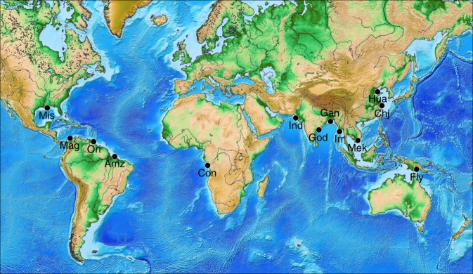
Recent acceleration of sand extraction for anthropic use threatens the sustainability of this major resource. However, continental erosion and river transport, which produce sand and sediment in general, lack quantification at the global scale. Here, we develop a new geodetic method to infer the sediment discharge to ocean of the world's largest rivers. It combines the spatial distribution of modern sedimentation zones with new high-resolution (~170 km) data from the Gravity Recovery and Climate Experiment (GRACE) mission launched in 2002. We obtain sediment discharges consistent with in situ measurements for the Amazon, Ganges-Brahmaputra, Changjiang, Indus, and Magdalena rivers. This new approach enables to quantitatively monitor the contemporary erosion of continental basins drained by rivers with large sediment discharges and paves the way toward a better understanding of how natural and anthropic changes influence landscape dynamics.
Conflict of interest statement
The authors declare no competing interests.
Figures


References
-
- Steer P, Huismans RS, Valla PG, Gac S, Herman F. Bimodal plio-quaternary glacial erosion of fjords and low-relief surfaces in Scandinavia. Nat. Geosci. 2012;5:635–639. doi: 10.1038/ngeo1549. - DOI
-
- Molnar P, Anderson RS, Anderson SP. Tectonics, fracturing of rock, and erosion. J. Geophys. Res. Earth Surf. 2007;112:1–12. doi: 10.1029/2005JF000433. - DOI
-
- Hovius N, et al. Prolonged seismically induced erosion and the mass balance of a large earthquake. Earth Planet. Sci. Lett. 2011;304:347–355. doi: 10.1016/j.epsl.2011.02.005. - DOI
Publication types
MeSH terms
LinkOut - more resources
Full Text Sources
Other Literature Sources
