Review
. 2022 Feb 9;13(1):792.
doi: 10.1038/s41467-022-27980-y.

Perspectives in machine learning for wildlife conservation

Affiliations
Review

Perspectives in machine learning for wildlife conservation

Devis Tuia et al. Nat Commun. .

Abstract

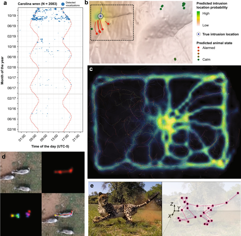
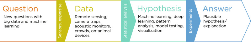
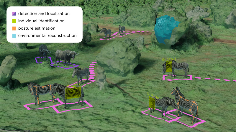
Inexpensive and accessible sensors are accelerating data acquisition in animal ecology. These technologies hold great potential for large-scale ecological understanding, but are limited by current processing approaches which inefficiently distill data into relevant information. We argue that animal ecologists can capitalize on large datasets generated by modern sensors by combining machine learning approaches with domain knowledge. Incorporating machine learning into ecological workflows could improve inputs for ecological models and lead to integrated hybrid modeling tools. This approach will require close interdisciplinary collaboration to ensure the quality of novel approaches and train a new generation of data scientists in ecology and conservation.


Conflict of interest statement

The authors declare no competing interests.

Figures

Fig. 1
Fig. 1. Examples of research acceleration by machine learning-based systems in animal ecology.
a The BirdNET algorithm was used to detect Carolina wren vocalizations in more than 35,000 h of passive acoustic monitoring data from Ithaca, New York, allowing researchers to document the gradual recovery of the population following a harsh winter season in 2015. b Machine-learning algorithms were used to analyze movement of savannah herbivores fitted with bio-logging devices in order to identify human threats. The method can localize human intruders to within 500 m, suggesting `sentinel animals' may be a useful tool in the fight against wildlife poaching. c TRex, a new image-based tracking software, can track the movement and posture of hundreds of individually-recognized animals in real-time. Here the software has been used to visualize the formation of trails in a termite colony. d, e Pose estimation software, such as DeepPoseKit (d) and DeepLabCut (e), allows researchers to track the body position of individual animals from video imagery, including drone footage, and estimate 3D postures in the wild. Panels b, c, and d are reproduced under CC BY 4.0 licenses. Panels b and d are cropped versions of the originals; the legend for panel b has been rewritten and reorganized. Panel e is reproduced with permission from Joska et al..
Fig. 2
Fig. 2. Incorporating ML into the ecological scientific process.
Traditional ecological research pipeline (colored text and boxes) and contributions of ML to the different stages discussed in this paper (black text).
Fig. 3
Fig. 3. A variety of sensors used in animal ecology.
Studies frequently combine data from multiple sensors at the same geographic location, or data from multiple locations to achieve deeper ecological insights. Sentinel-2 (ESA) satellite image courtesy of the U.S. Geological Survey.
Fig. 4
Fig. 4. The Wildbook Ecosystem.
Wildbook allows scientists and wildlife managers to leverage the power of communities and ML to monitor wildlife populations. Images of target species are collected via research projects, community science events (e.g., the Great Grevy’s Rally; see text), or by scraping social media platforms using Wildbook AI tools. Wildbook software uses computer vision technology to process the images, yielding species and individual identities for the photographed animals. This information is stored in databases on Wildbook data management servers. The data and biological insights generated by Wildbook facilitates exchange of expertise between biologists, data scientists, and stakeholder communities around the world.
Fig. 5
Fig. 5. Setting a common vocabulary: ecology tasks vs corresponding ones in computer vision.
Imagery can be used to capture a range of behavioral and ecological data, which can be processed into usable information with ML tools. Aerial imagery (from drones, or satellites for large species) can be used to localize animals and track their movements over time and model the 3D structure of landscapes using photogrammetry. Posture estimation tools allow researchers to estimate animal postures, which can then be used to infer behaviors using clustering algorithms. Finally, computer vision techniques allow for the identification and re-identification of known individuals across encounters.
Fig. 6
Fig. 6. AI for Wildlife Conservation in Practice: the MegaDetector.
The near-universal need of all camera trap projects to efficiently filter empty images and localize humans, animals, and vehicles in camera trap data, combined with the robustness to geographic, hardware, and species variability the MegaDetector provides due to its large, diverse training set makes it a useful, practical tool for many conservation applications out of the box. The work done by the Microsoft AI for Earth team to provide assistance running the model via hands-on engineering assistance, open-source tools, and a public API have made the MegaDetector accessible to ecologists and a part of the ecological research workflow for over 30 organizations worldwide.

References

    1. Ceballos G, Ehrlich PR, Raven PH. Vertebrates on the brink as indicators of biological annihilation and the sixth mass extinction. Proc. Natl Acad. Sci. USA. 2020;117:13596–13602. - PMC - PubMed
    1. Committee, T. I. R. L. The IUCN Red List of Threatened Species - Strategic Plan 2017-2020. Tech. Rep., IUCN (2017).
    1. Witmer GW. Wildlife population monitoring: some practical considerations. Wild. Res. 2005;32:259–263.
    1. McEvoy JF, Hall GP, McDonald PG. Evaluation of unmanned aerial vehicle shape, flight path and camera type for waterfowl surveys: disturbance effects and species recognition. PeerJ. 2016;4:e1831. - PMC - PubMed
    1. Burghardt GM, et al. Perspectives–minimizing observer bias in behavioral studies: a review and recommendations. Ethology. 2012;118:511–517.

Publication types