

Method for monitoring and forecasting landslide phenomenon based on machine learning
- PMID: 38966717
- PMCID: PMC11223107
- DOI: 10.1016/j.mex.2024.102797
Method for monitoring and forecasting landslide phenomenon based on machine learning
Abstract
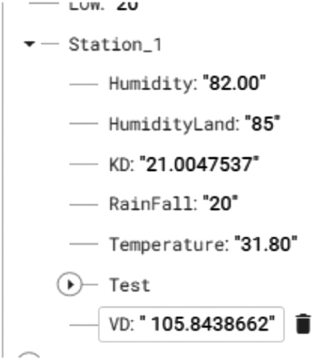
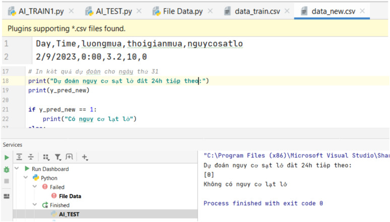
A landslide involves the downward movement of a mass of rock, debris, earth, or soil. Landslides happen when gravitational forces and other types of shear stresses on a slope surpass the shear strength of the materials. Additionally, landslides can be triggered by processes that weaken the shear strength of the slope's material. Shear strength primarily depends on two factors such as frictional strength, which is the resistance to movement between the interacting particles of the slope material, and cohesive strength, which is the bonding between those particles. A landslide is a terrible natural disaster that causes much damage to both human life and the economy. It often occurs in steep mountainous areas or hilly regions, ranging in scale from medium to large. It progresses slowly (20-50 mm/year), but when it occurs, it can move at a speed of 3 m/s. Therefore, early detection or prevention of this disaster is an essential and significant task. This paper developed a method to collect and analyze data, with the purpose of determining the possibility of landslide occurrences to reduce its potential losses.•The proposed method is convenient for users to grasp information of landslide phenomenon.•A machine learning model is applied to forecast landslide phenomenon.•Internet of things (IoT) system is utilized to manage and send a warning text to individual email address and mobile devices.
Keywords: Forecasting; Landslide; Landslide monitoring method using IoT and machine learning; Machine learning; Monitoring.
© 2024 The Authors. Published by Elsevier B.V.
Conflict of interest statement
The authors declare that they have no known competing financial interests or personal relationships that could have appeared to influence the work reported in this paper.
Figures


References
-
- Death result from landslides each year in the United States. https://www.usgs.gov/faqs/how-many-deaths-result-landslides-each-year
-
- Landslides in Vietnam https://kinhtedothi.vn/lu-quet-sat-lo-dat-lam-49-nguoi-chet-thiet-hai-kh...
-
- Results of geological investigations in Vietnam, (2020). https://quangngaitv.vn/tin-tuc-n10206/gia-tang-tinh-trang-sat-lo-dat.html.
-
- The effects of heavy rain and landslides, (2023). https://dangcongsan.vn/xa-hoi/mua-lon-sat-lo-dat-gay-nhieu-thiet-hai-ve-....
-
- Fiorucci F., Cardinali M., Carlà R., Rossi M., Mondini A.C., Santurri L., Ardizzone F., Guzzetti F. Seasonal landslide mapping and estimation of landslide mobilization rates using aerial and satellite images. Geomorphology. 2011;129(1–2):59–70. Iss.
LinkOut - more resources
Full Text Sources
